
Bief du Four a Chaux topographic map
Interactive map
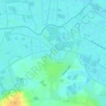
Click on the map to display elevation.
About this map
Name: Bief du Four a Chaux topographic map, elevation, terrain.
Average elevation: 5 m
Minimum elevation: 0 m
Maximum elevation: 29 m
Other topographic maps
Click on a map to view its topography, its elevation and its terrain.
Irleau
France > Nouvelle-Aquitaine > Deux-Sèvres > Le Vanneau-Irleau > Irleau
Irleau, Le Vanneau-Irleau, Niort, Deux-Sèvres, Nouvelle-Aquitaine, France métropolitaine, 79270, France
Average elevation: 7 m