
Horseshoe Lake topographic map
Interactive map
Click on the map to display elevation.
About this map
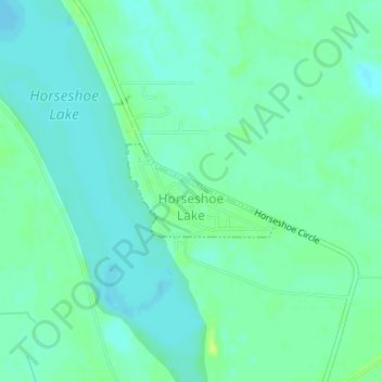
Name: Horseshoe Lake topographic map, elevation, terrain.
Average elevation: 62 m
Minimum elevation: 56 m
Maximum elevation: 71 m
The elevation of Horseshoe Lake is 203 feet (62 m) above sea level.
Other topographic maps
Click on a map to view its topography, its elevation and its terrain.
Crittenden County
United States > Arkansas > Crittenden County
Crittenden County, Arkansas, United States
Average elevation: 68 m