
Thank you for supporting this site ❤️
Make a donation
Make a donation
West Bottom topographic map
Click on the map to display elevation.
Thank you for supporting this site ❤️
Make a donation
Make a donation
About this map
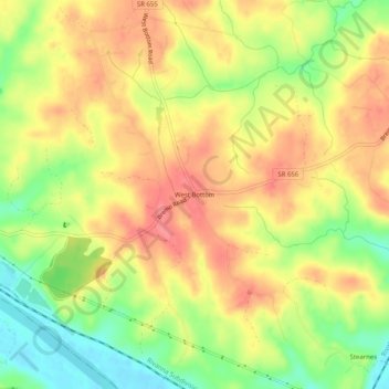
Name: West Bottom topographic map, elevation, terrain.
Location: West Bottom, Fluvanna County, Virginia, 23022, United States (37.69709 -78.28084 37.73709 -78.24084)
Average elevation: 104 m
Minimum elevation: 62 m
Maximum elevation: 135 m
Thank you for supporting this site ❤️
Make a donation
Make a donation
Other topographic maps
Click on a map to view its topography, its elevation and its terrain.