
Thank you for supporting this site ❤️
Make a donation
Make a donation
Adães topographic map
Click on the map to display elevation.
Thank you for supporting this site ❤️
Make a donation
Make a donation
About this map
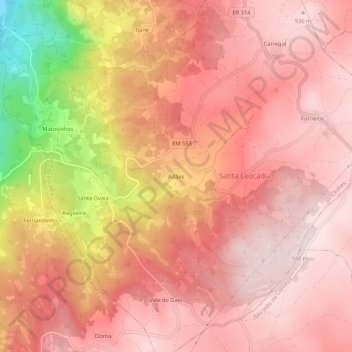
Name: Adães topographic map, elevation, terrain.
Location: Adães, Santa Leocádia, Chaves, Vila Real, 5445-084, Portugal (41.59828 -7.49321 41.63828 -7.45321)
Average elevation: 802 m
Minimum elevation: 459 m
Maximum elevation: 944 m
Thank you for supporting this site ❤️
Make a donation
Make a donation