
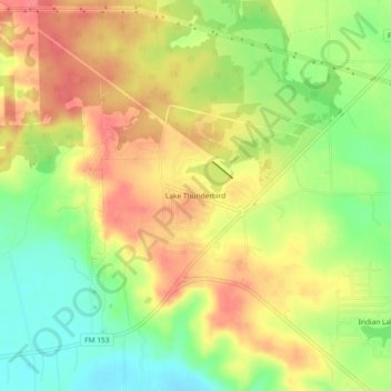
Lake Thunderbird topographic map
Interactive map
Click on the map to display elevation.
About this map
Name: Lake Thunderbird topographic map, elevation, terrain.
Location: Lake Thunderbird, Bastrop County, Texas, 78965, USA (30.03748 -97.13456 30.07748 -97.09456)
Average elevation: 124 m
Minimum elevation: 88 m
Maximum elevation: 154 m