
Thank you for supporting this site ❤️
Make a donation
Make a donation
Lingshou County topographic map
Click on the map to display elevation.
Thank you for supporting this site ❤️
Make a donation
Make a donation
About this map
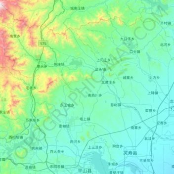
Name: Lingshou County topographic map, elevation, terrain.
Location: Lingshou County, Shijiazhuang City, Hebei, China (38.24290 113.82303 38.75807 114.47905)
Average elevation: 319 m
Minimum elevation: 83 m
Maximum elevation: 1,792 m
Thank you for supporting this site ❤️
Make a donation
Make a donation