
Presgaux topographic map
Interactive map
Click on the map to display elevation.
About this map
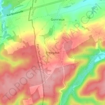
Name: Presgaux topographic map, elevation, terrain.
Location: Presgaux, Philippeville, Namen, Wallonië, 5660, België (50.00479 4.40062 50.04479 4.44062)
Average elevation: 281 m
Minimum elevation: 211 m
Maximum elevation: 332 m