
Romershoven topographic map
Interactive map
Click on the map to display elevation.
About this map
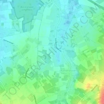
Name: Romershoven topographic map, elevation, terrain.
Location: Romershoven, Hoeselt, Tongeren, Limburg, Vlaanderen, België (50.84854 5.44503 50.87805 5.46370)
Average elevation: 60 m
Minimum elevation: 45 m
Maximum elevation: 101 m