
Silver Lake topographic map
Interactive map
Click on the map to display elevation.
About this map
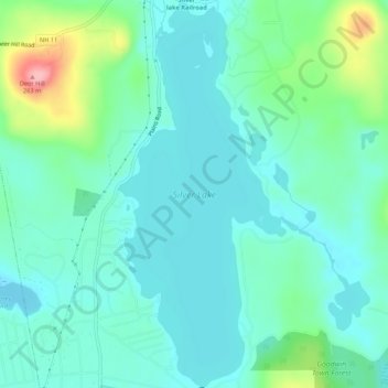
Name: Silver Lake topographic map, elevation, terrain.
Average elevation: 162 m
Minimum elevation: 133 m
Maximum elevation: 262 m
Other topographic maps
Click on a map to view its topography, its elevation and its terrain.
Eidelweiss Beach
United States > New Hampshire > Carroll County > Madison
Eidelweiss Beach, Madison, Carroll County, New Hampshire, United States
Average elevation: 236 m