
Thank you for supporting this site ❤️
Make a donation
Make a donation
Mochudi topographic map
Click on the map to display elevation.
Thank you for supporting this site ❤️
Make a donation
Make a donation
About this map
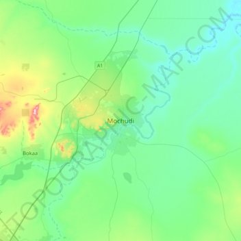
Name: Mochudi topographic map, elevation, terrain.
Location: Mochudi, Kgatleng District, Botswana (-24.54286 25.98895 -24.22286 26.30895)
Average elevation: 962 m
Minimum elevation: 908 m
Maximum elevation: 1,173 m
Thank you for supporting this site ❤️
Make a donation
Make a donation