
Thank you for supporting this site ❤️
Make a donation
Make a donation
Castañeras topographic map
Click on the map to display elevation.
Thank you for supporting this site ❤️
Make a donation
Make a donation
About this map
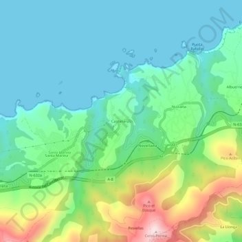
Name: Castañeras topographic map, elevation, terrain.
Location: Castañeras, Cudillero, Asturien, 33157, Spanien (43.54091 -6.31577 43.58091 -6.27577)
Average elevation: 116 m
Minimum elevation: 0 m
Maximum elevation: 437 m
Thank you for supporting this site ❤️
Make a donation
Make a donation