
Thank you for supporting this site ❤️
Make a donation
Make a donation
Dingmans Ferry topographic map
Click on the map to display elevation.
Thank you for supporting this site ❤️
Make a donation
Make a donation
About this map
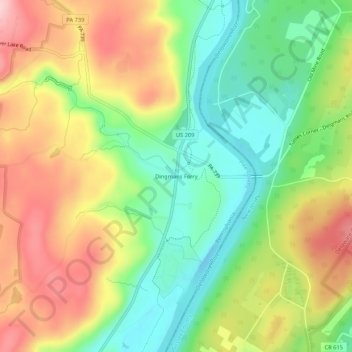
Name: Dingmans Ferry topographic map, elevation, terrain.
Average elevation: 192 m
Minimum elevation: 100 m
Maximum elevation: 304 m
Thank you for supporting this site ❤️
Make a donation
Make a donation
Other topographic maps
Click on a map to view its topography, its elevation and its terrain.
Delaware Township
United States > Pennsylvania > Pike County > Delaware Township
Average elevation: 329 m