
Thank you for supporting this site ❤️
Make a donation
Make a donation
Tandsbyn topographic map
Click on the map to display elevation.
Thank you for supporting this site ❤️
Make a donation
Make a donation
About this map
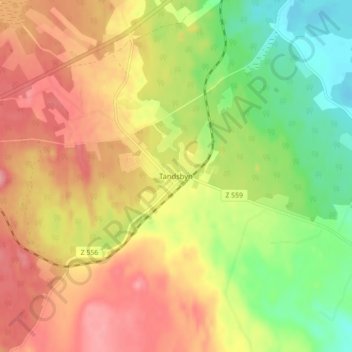
Name: Tandsbyn topographic map, elevation, terrain.
Location: Tandsbyn, Östersunds kommun, Jämtland County, Sweden (62.98092 14.72531 63.02092 14.76531)
Average elevation: 380 m
Minimum elevation: 327 m
Maximum elevation: 427 m
Thank you for supporting this site ❤️
Make a donation
Make a donation