
Thank you for supporting this site ❤️
Make a donation
Make a donation
Choptank topographic map
Click on the map to display elevation.
Thank you for supporting this site ❤️
Make a donation
Make a donation
About this map
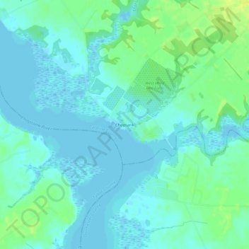
Name: Choptank topographic map, elevation, terrain.
Location: Choptank, Caroline County, Maryland, United States (38.66095 -75.96827 38.70095 -75.92827)
Average elevation: 5 m
Minimum elevation: -2 m
Maximum elevation: 17 m
Thank you for supporting this site ❤️
Make a donation
Make a donation
Other topographic maps
Click on a map to view its topography, its elevation and its terrain.