
Kindhausen topographic map
Interactive map
Click on the map to display elevation.
About this map
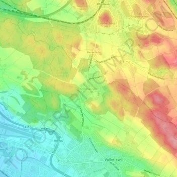
Name: Kindhausen topographic map, elevation, terrain.
Location: Kindhausen, Volketswil, Bezirk Uster, Zurique, 8604, Suíça (47.38589 8.66222 47.42589 8.70222)
Average elevation: 501 m
Minimum elevation: 440 m
Maximum elevation: 570 m