
土台乡 topographic map
Interactive map
Click on the map to display elevation.
About this map
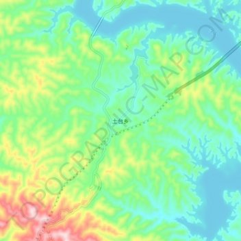
Name: 土台乡 topographic map, elevation, terrain.
Location: 土台乡, 丹江口市, 十堰市, 湖北省, 中国 (32.54356 111.21388 32.62356 111.29388)
Average elevation: 222 m
Minimum elevation: 134 m
Maximum elevation: 446 m
Other topographic maps
Click on a map to view its topography, its elevation and its terrain.