
Thank you for supporting this site ❤️
Make a donation
Make a donation
Fatick Region topographic map
Click on the map to display elevation.
Thank you for supporting this site ❤️
Make a donation
Make a donation
About this map
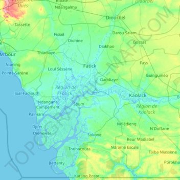
Name: Fatick Region topographic map, elevation, terrain.
Location: Fatick Region, Senegal (13.59159 -16.80010 14.75338 -15.57208)
Average elevation: 16 m
Minimum elevation: -3 m
Maximum elevation: 129 m
Thank you for supporting this site ❤️
Make a donation
Make a donation