
El Hadjira topographic map
Interactive map
Click on the map to display elevation.
About this map
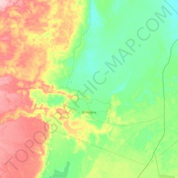
Name: El Hadjira topographic map, elevation, terrain.
Location: El Hadjira, Daïra El Hadjira, Ouargla, 30053, Algérie (32.41271 5.34833 32.98140 6.13159)
Average elevation: 139 m
Minimum elevation: 84 m
Maximum elevation: 261 m
Other topographic maps
Click on a map to view its topography, its elevation and its terrain.