
黎里镇 topographic map
Interactive map
Click on the map to display elevation.
About this map
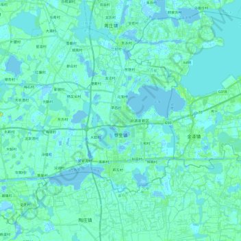
Name: 黎里镇 topographic map, elevation, terrain.
Location: 黎里镇, 吴江区, 苏州市, 江苏省, 215211, 中国 (30.96505 120.66477 31.13853 120.90057)
Average elevation: 3 m
Minimum elevation: -5 m
Maximum elevation: 16 m
Other topographic maps
Click on a map to view its topography, its elevation and its terrain.