
Thank you for supporting this site ❤️
Make a donation
Make a donation
Koersel topographic map
Click on the map to display elevation.
Thank you for supporting this site ❤️
Make a donation
Make a donation
About this map
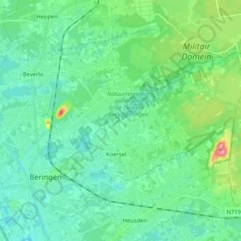
Name: Koersel topographic map, elevation, terrain.
Location: Koersel, Beringen, Hasselt, Limburg, Flanders, 3582, Belgium (51.04428 5.20144 51.09556 5.34419)
Average elevation: 44 m
Minimum elevation: 19 m
Maximum elevation: 142 m
Thank you for supporting this site ❤️
Make a donation
Make a donation
Other topographic maps
Click on a map to view its topography, its elevation and its terrain.