
Thank you for supporting this site ❤️
Make a donation
Make a donation
Braxton topographic map
Click on the map to display elevation.
Thank you for supporting this site ❤️
Make a donation
Make a donation
About this map
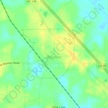
Name: Braxton topographic map, elevation, terrain.
Location: Braxton, Simpson County, Mississippi, United States (32.01967 -89.97993 32.03220 -89.96421)
Average elevation: 108 m
Minimum elevation: 95 m
Maximum elevation: 121 m
Thank you for supporting this site ❤️
Make a donation
Make a donation