
Thank you for supporting this site ❤️
Make a donation
Make a donation
Cerro Prieto topographic map
Click on the map to display elevation.
Thank you for supporting this site ❤️
Make a donation
Make a donation
About this map
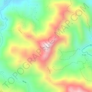
Name: Cerro Prieto topographic map, elevation, terrain.
Location: Cerro Prieto, Utuado, Puerto Rico, United States (18.19713 -66.66300 18.19723 -66.66290)
Average elevation: 650 m
Minimum elevation: 424 m
Maximum elevation: 907 m
Thank you for supporting this site ❤️
Make a donation
Make a donation