
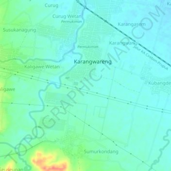
Blender topographic map
Interactive map
Click on the map to display elevation.
About this map
Name: Blender topographic map, elevation, terrain.
Location: Blender, West-Java, Indonesien (-6.89304 108.62292 -6.85304 108.66292)
Average elevation: 25 m
Minimum elevation: 13 m
Maximum elevation: 68 m