
Spooner topographic map
Interactive map
Click on the map to display elevation.
About this map
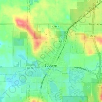
Name: Spooner topographic map, elevation, terrain.
Location: Spooner, Washburn County, Wisconsin, United States (45.80909 -91.92397 45.85082 -91.85128)
Average elevation: 336 m
Minimum elevation: 313 m
Maximum elevation: 379 m
Other topographic maps
Click on a map to view its topography, its elevation and its terrain.
Town of Sarona
United States > Wisconsin > Washburn County
Town of Sarona, Washburn County, Wisconsin, United States
Average elevation: 395 m
Crystal Mountain
United States > Wisconsin > Washburn County
Crystal Mountain, Town of Spooner, Washburn County, Wisconsin, United States
Average elevation: 344 m