
Dhalaa topographic map
Interactive map
Click on the map to display elevation.
About this map
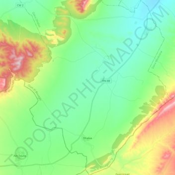
Name: Dhalaa topographic map, elevation, terrain.
Location: Dhalaa, Daïra Dhalaa, Oum El Bouaghi, Algérie (35.42247 7.47071 35.60075 7.65291)
Average elevation: 998 m
Minimum elevation: 863 m
Maximum elevation: 1,335 m