
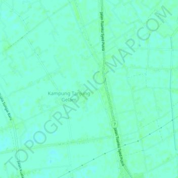
Kampung Kenangan topographic map
Interactive map
Click on the map to display elevation.
About this map
Name: Kampung Kenangan topographic map, elevation, terrain.
Location: Kampung Kenangan, Perlis, 02000, Malaysia (6.34683 100.16010 6.38683 100.20010)
Average elevation: 3 m
Minimum elevation: 0 m
Maximum elevation: 6 m