
Thank you for supporting this site ❤️
Make a donation
Make a donation
Wilson Bend topographic map
Click on the map to display elevation.
Thank you for supporting this site ❤️
Make a donation
Make a donation
About this map
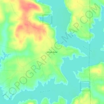
Name: Wilson Bend topographic map, elevation, terrain.
Location: Wilson Bend, Winston County, Alabama, United States (33.99510 -87.14945 34.03510 -87.10945)
Average elevation: 175 m
Minimum elevation: 150 m
Maximum elevation: 221 m
Thank you for supporting this site ❤️
Make a donation
Make a donation