
Thank you for supporting this site ❤️
Make a donation
Make a donation
Pine Valley topographic map
Click on the map to display elevation.
Thank you for supporting this site ❤️
Make a donation
Make a donation
About this map
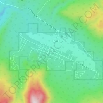
Name: Pine Valley topographic map, elevation, terrain.
Location: Pine Valley, Washington County, Utah, 84781, United States (37.37105 -113.53406 37.41105 -113.49406)
Average elevation: 2,075 m
Minimum elevation: 1,902 m
Maximum elevation: 2,506 m
Thank you for supporting this site ❤️
Make a donation
Make a donation