
Canal de l'Ourthe topographic map
Interactive map
Click on the map to display elevation.
About this map
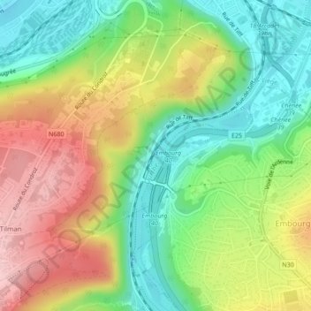
Name: Canal de l'Ourthe topographic map, elevation, terrain.
Location: Canal de l'Ourthe, Angleur, Liège, Wallonie, 4000, Belgique (50.59609 5.59129 50.59891 5.59307)
Average elevation: 138 m
Minimum elevation: 56 m
Maximum elevation: 243 m