
Havre topographic map
Interactive map
Click on the map to display elevation.
About this map
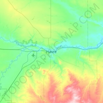
Name: Havre topographic map, elevation, terrain.
Location: Havre, Hill County, Montana, 59501, United States (48.39370 -109.83780 48.71370 -109.51780)
Average elevation: 849 m
Minimum elevation: 743 m
Maximum elevation: 1,165 m