
Göhlsdorf topographic map
Interactive map
Click on the map to display elevation.
About this map
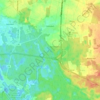
Name: Göhlsdorf topographic map, elevation, terrain.
Average elevation: 47 m
Minimum elevation: 30 m
Maximum elevation: 72 m
Göhlsdorf liegt in einer Höhe von 41 m ü. NHN. Der Ort wird durch die A 10 geteilt. Etwa 2,5 Kilometer südöstlich von Göhlsdorf liegt das Autobahndreieck Werder der Verbindung zwischen der A 10 und der A 2. Der Ort hat eine Fläche von 14,46 km² und bei 1.122 Einwohnern (Stand: 1. Januar 2011) eine Bevölkerungsdichte von 78 Einwohnern pro km².