
Deschutes Pond topographic map
Interactive map
Click on the map to display elevation.
About this map
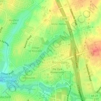
Name: Deschutes Pond topographic map, elevation, terrain.
Average elevation: 224 m
Minimum elevation: 198 m
Maximum elevation: 249 m
Other topographic maps
Click on a map to view its topography, its elevation and its terrain.
North Mecklenburg Park
United States > North Carolina > Mecklenburg County > Huntersville
North Mecklenburg Park, Huntersville, Mecklenburg County, North Carolina, 28078, United States
Average elevation: 238 m