
Thank you for supporting this site ❤️
Make a donation
Make a donation
Fond topographic map
Click on the map to display elevation.
Thank you for supporting this site ❤️
Make a donation
Make a donation
About this map
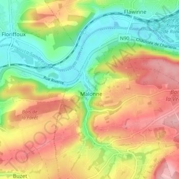
Name: Fond topographic map, elevation, terrain.
Location: Fond, Malonne, Namur, Wallonie, 5001, Belgique (50.41922 4.77605 50.45922 4.81605)
Average elevation: 147 m
Minimum elevation: 78 m
Maximum elevation: 222 m
Thank you for supporting this site ❤️
Make a donation
Make a donation