
Fouytery topographic map
Interactive map
Click on the map to display elevation.
About this map
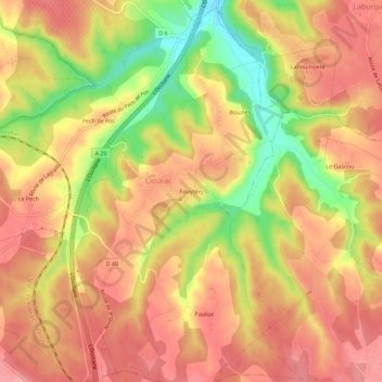
Name: Fouytery topographic map, elevation, terrain.
Average elevation: 250 m
Minimum elevation: 187 m
Maximum elevation: 283 m
Other topographic maps
Click on a map to view its topography, its elevation and its terrain.
Pech de Fos
France > Occitanie > Lot > Cieurac
Pech de Fos, Cieurac, Cahors, Lot, Occitanie, France métropolitaine, 46230, France
Average elevation: 247 m