
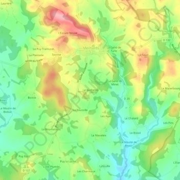
Le Buchetel topographic map
Interactive map
Click on the map to display elevation.
About this map
Name: Le Buchetel topographic map, elevation, terrain.
Average elevation: 461 m
Minimum elevation: 405 m
Maximum elevation: 537 m
Other topographic maps
Click on a map to view its topography, its elevation and its terrain.
Le Mazerbourg
France > Nouvelle-Aquitaine > Corrèze > Meilhards
Le Mazerbourg, Meilhards, Tulle, Corrèze, Nouvelle-Aquitaine, France métropolitaine, 19510, France
Average elevation: 461 m
Le Breuil
France > Nouvelle-Aquitaine > Corrèze > Meilhards
Le Breuil, Meilhards, Tulle, Corrèze, Nouvelle-Aquitaine, France métropolitaine, 19510, France
Average elevation: 464 m
La Gane de Turle
France > Nouvelle-Aquitaine > Corrèze > Meilhards
La Gane de Turle, Meilhards, Tulle, Corrèze, Nouvelle-Aquitaine, France métropolitaine, 19510, France
Average elevation: 477 m