
Cité diar el afia bourouba topographic map
Interactive map
Click on the map to display elevation.
About this map
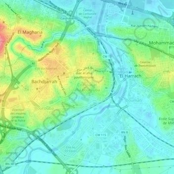
Name: Cité diar el afia bourouba topographic map, elevation, terrain.
Location: Cité diar el afia bourouba, Diar El Afia, Alger, 16230, Algérie (36.69862 3.10492 36.73862 3.14492)
Average elevation: 25 m
Minimum elevation: -2 m
Maximum elevation: 87 m