
Péry-Hameau topographic map
Interactive map
Click on the map to display elevation.
About this map
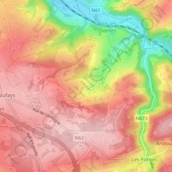
Name: Péry-Hameau topographic map, elevation, terrain.
Location: Péry-Hameau, Trooz, Liège, Wallonie, 4870, Belgique (50.54115 5.64864 50.58115 5.68864)
Average elevation: 220 m
Minimum elevation: 82 m
Maximum elevation: 301 m
Other topographic maps
Click on a map to view its topography, its elevation and its terrain.