
Thank you for supporting this site ❤️
Make a donation
Make a donation
Bodenheim topographic map
Click on the map to display elevation.
Thank you for supporting this site ❤️
Make a donation
Make a donation
About this map
Name: Bodenheim topographic map, elevation, terrain.
Average elevation: 149 m
Minimum elevation: 128 m
Maximum elevation: 167 m
Thank you for supporting this site ❤️
Make a donation
Make a donation
Other topographic maps
Click on a map to view its topography, its elevation and its terrain.
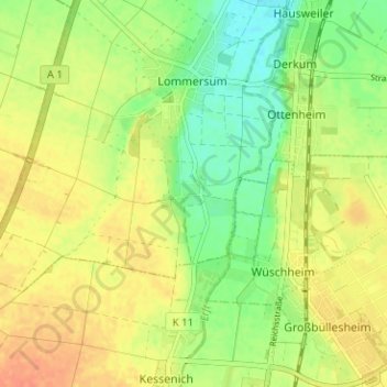
Weilerswist
Deutschland > Nordrhein-Westfalen > Kreis Euskirchen > Weilerswist
Weilerswist liegt zwischen der Zülpicher Börde und dem Vorgebirge, am südwestlichen Rand der Ville, eines Höhenzuges der Kölner Bucht. Durch das Gemeindegebiet fließen im Osten die Swist und im Westen die Erft, die in Weilerswist von vier kleineren Nebengewässern gespeist werden. Im Norden grenzt die…
Average elevation: 129 m