
Thank you for supporting this site ❤️
Make a donation
Make a donation
Issaouane n Tiffernine topographic map
Click on the map to display elevation.
Thank you for supporting this site ❤️
Make a donation
Make a donation
About this map
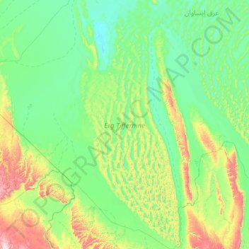
Name: Issaouane n Tiffernine topographic map, elevation, terrain.
Location: Issaouane n Tiffernine, Illizi, Algeria (26.26449 6.25156 27.58795 6.95793)
Average elevation: 548 m
Minimum elevation: 370 m
Maximum elevation: 1,387 m
Thank you for supporting this site ❤️
Make a donation
Make a donation
Other topographic maps
Click on a map to view its topography, its elevation and its terrain.