
加木村 topographic map
Interactive map
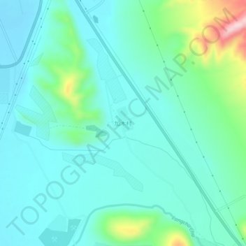
Click on the map to display elevation.
About this map
Name: 加木村 topographic map, elevation, terrain.
Location: 加木村, 狮泉河镇, 噶尔县, 阿里地区, 西藏自治区, 中国 (32.45405 80.12564 32.49405 80.16564)
Average elevation: 4,347 m
Minimum elevation: 4,292 m
Maximum elevation: 4,569 m