
望江县 topographic map
Interactive map
Click on the map to display elevation.
About this map
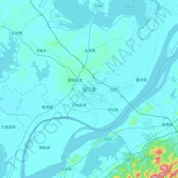
Name: 望江县 topographic map, elevation, terrain.
Location: 望江县, 安庆市, 安徽省, 中国 (29.97098 116.54137 30.29098 116.86137)
Average elevation: 29 m
Minimum elevation: 2 m
Maximum elevation: 645 m
Other topographic maps
Click on a map to view its topography, its elevation and its terrain.