
Thank you for supporting this site ❤️
Make a donation
Make a donation
Pendenza topographic map
Click on the map to display elevation.
Thank you for supporting this site ❤️
Make a donation
Make a donation
About this map
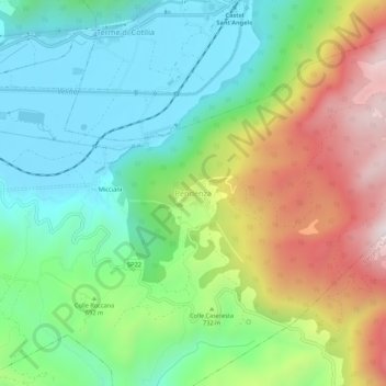
Name: Pendenza topographic map, elevation, terrain.
Location: Pendenza, Cittaducale, Rieti, Lazio, Italia (42.34041 12.99183 42.38041 13.03183)
Average elevation: 680 m
Minimum elevation: 399 m
Maximum elevation: 1,191 m
Thank you for supporting this site ❤️
Make a donation
Make a donation