
Aït Ahmed topographic map
Interactive map
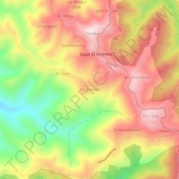
Click on the map to display elevation.
About this map
Name: Aït Ahmed topographic map, elevation, terrain.
Location: Aït Ahmed, Mâatkas, Daïra Mâatkas, Tizi Ouzou, 15017, Algérie (36.58427 3.96391 36.62427 4.00391)
Average elevation: 474 m
Minimum elevation: 212 m
Maximum elevation: 677 m