
Tidjet topographic map
Interactive map
Click on the map to display elevation.
About this map
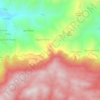
Name: Tidjet topographic map, elevation, terrain.
Location: Tidjet, Harbil, Daïra Guenzet, Sétif, Algérie (36.30873 4.86729 36.34873 4.90729)
Average elevation: 1,162 m
Minimum elevation: 734 m
Maximum elevation: 1,514 m