
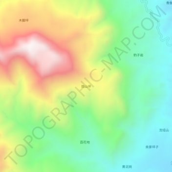
炭山坪 topographic map
Interactive map
Click on the map to display elevation.
About this map
Name: 炭山坪 topographic map, elevation, terrain.
Location: 炭山坪, 华坪县, 丽江市, 云南省, 中国 (26.63652 101.20872 26.67652 101.24872)
Average elevation: 1,567 m
Minimum elevation: 1,186 m
Maximum elevation: 2,157 m
Other topographic maps
Click on a map to view its topography, its elevation and its terrain.