
Tinakula topographic map
Interactive map
Click on the map to display elevation.
About this map
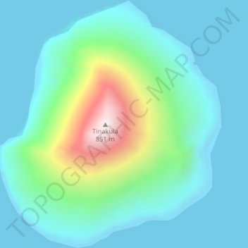
Name: Tinakula topographic map, elevation, terrain.
Location: Tinakula, Lata, Temotu Province, Salomon (-10.40187 165.78981 -10.36994 165.81899)
Average elevation: 163 m
Minimum elevation: 0 m
Maximum elevation: 808 m