
Thank you for supporting this site ❤️
Make a donation
Make a donation
Poplar Ridge topographic map
Click on the map to display elevation.
Thank you for supporting this site ❤️
Make a donation
Make a donation
About this map
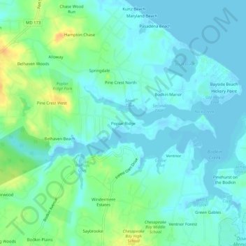
Name: Poplar Ridge topographic map, elevation, terrain.
Location: Poplar Ridge, Anne Arundel County, Maryland, United States (39.11011 -76.48441 39.15011 -76.44441)
Average elevation: 8 m
Minimum elevation: -2 m
Maximum elevation: 29 m
Thank you for supporting this site ❤️
Make a donation
Make a donation