
Thank you for supporting this site ❤️
Make a donation
Make a donation
Mhasa topographic map
Click on the map to display elevation.
Thank you for supporting this site ❤️
Make a donation
Make a donation
About this map
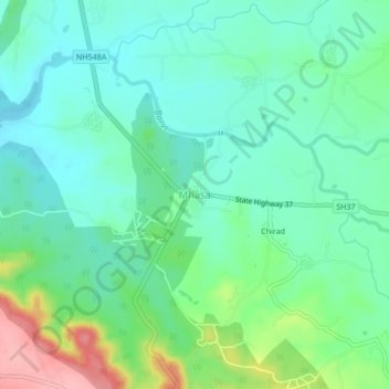
Name: Mhasa topographic map, elevation, terrain.
Location: Mhasa, Murbad Taluka, Thane, Maharashtra, India (19.14801 73.42773 19.18801 73.46773)
Average elevation: 97 m
Minimum elevation: 63 m
Maximum elevation: 186 m
Thank you for supporting this site ❤️
Make a donation
Make a donation
Other topographic maps
Click on a map to view its topography, its elevation and its terrain.