
Keystone topographic map
Interactive map
Click on the map to display elevation.
About this map
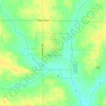
Name: Keystone topographic map, elevation, terrain.
Location: Keystone, Benton County, Iowa, États-Unis d'Amérique (41.99427 -92.20724 42.00457 -92.19027)
Average elevation: 272 m
Minimum elevation: 259 m
Maximum elevation: 285 m