
山阳镇 topographic map
Interactive map
Click on the map to display elevation.
About this map
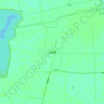
Name: 山阳镇 topographic map, elevation, terrain.
Location: 山阳镇, 扬州市, 宝应县, 江苏省, 225800, 中国 (33.23074 119.16948 33.31074 119.24948)
Average elevation: 7 m
Minimum elevation: 3 m
Maximum elevation: 12 m